


A shore walk looks like the least complicated outing in the world: a beach, a path, a stretch of rock, a lighthouse at the end. Then you check two screens before leaving and they seem to disagree. The tide table says low water at 14:20, which sounds generous. The harbor forecast says twenty knots from the southwest with a swell running, which sounds like a different afternoon altogether. Both are right. One describes the clock, the other describes the mood. Knowing which one to consult for which decision is most of the skill of walking a coast well.
Two Instruments, Two Different Questions
A tide table is astronomy. The pull of the moon and sun on a particular coastline is calculable, which is why tide times can be printed years ahead and still be accurate to within minutes. A harbor forecast is weather: wind, waves, rain, visibility, valid for the next few hours and revised as conditions change.
The common mistake is treating them as competing sources, then picking a favourite. Someone who plans entirely by the tide table ends up on an exposed strand in a rising onshore wind. Someone who plans entirely by the forecast sets off along a causeway at what looked like a fine hour and finds the water already across the road. The tidy rule is this: tide tables decide when, harbor forecasts decide whether and where.
What the Tide Table Actually Tells You
A tide table gives the times and heights of high and low water at a standard port. The numbers are usually heights above chart datum, not depths of water, so add them to the charted depth rather than reading them as clearance. Two details matter for walkers.
The first is the secondary port correction. The sea does not read the table for the cove you are walking to. Most tables list offsets in time and height for nearby harbours, bays and river mouths, and in a place with a big tidal range those offsets can be substantial — enough to put your carefully timed low-water crossing an hour out.
The second is the shape of the tide between the extremes. Water does not rise and fall evenly. The old rule of twelfths is a good working approximation: in each sixth of the period between low and high water, roughly one, two, three, three, two and one twelfth of the total range moves. The middle hours are when the water is moving fastest, which is exactly when a flat sandbar becomes a channel.
Remember, too, that spring and neap tides differ enormously. The same beach that offers a wide promenade at low water on a spring tide may barely open up at neaps.
What the Harbor Forecast Adds
A harbor forecast brings the wind direction and strength, gusts, wave height and period, visibility and the timing of any change. For a coastal walk, wind direction relative to the shore is the single most useful line: onshore wind pushes water up the beach and throws spray over a wall, offshore wind flattens the surface but can make the return leg a hard push.
Wave period is the detail people skip. A long-period swell, generated by a distant storm, can arrive at a sheltered cove under a blue sky and no local wind at all. It usually shows as occasional larger sets rather than constant size, and those sets are what catch people on rock shelves and breakwater ends.
Note the word harbor in the forecast. It describes conditions around that harbour or stretch of coast, not a headland two bays away. A cliff can shelter one beach and funnel wind onto the next. If your route crosses a headland or a river mouth, treat the forecast as an indication and expect local variation.
Matching the Tool to the Walk
Open sand and wide strands
Tide first. On a broad beach, the tide decides how much room you have and when the sandbar closes behind you. Check the forecast second, mainly for wind chill, blown sand and how far up the beach the swash is reaching.
Breakwaters, piers and harbor walls
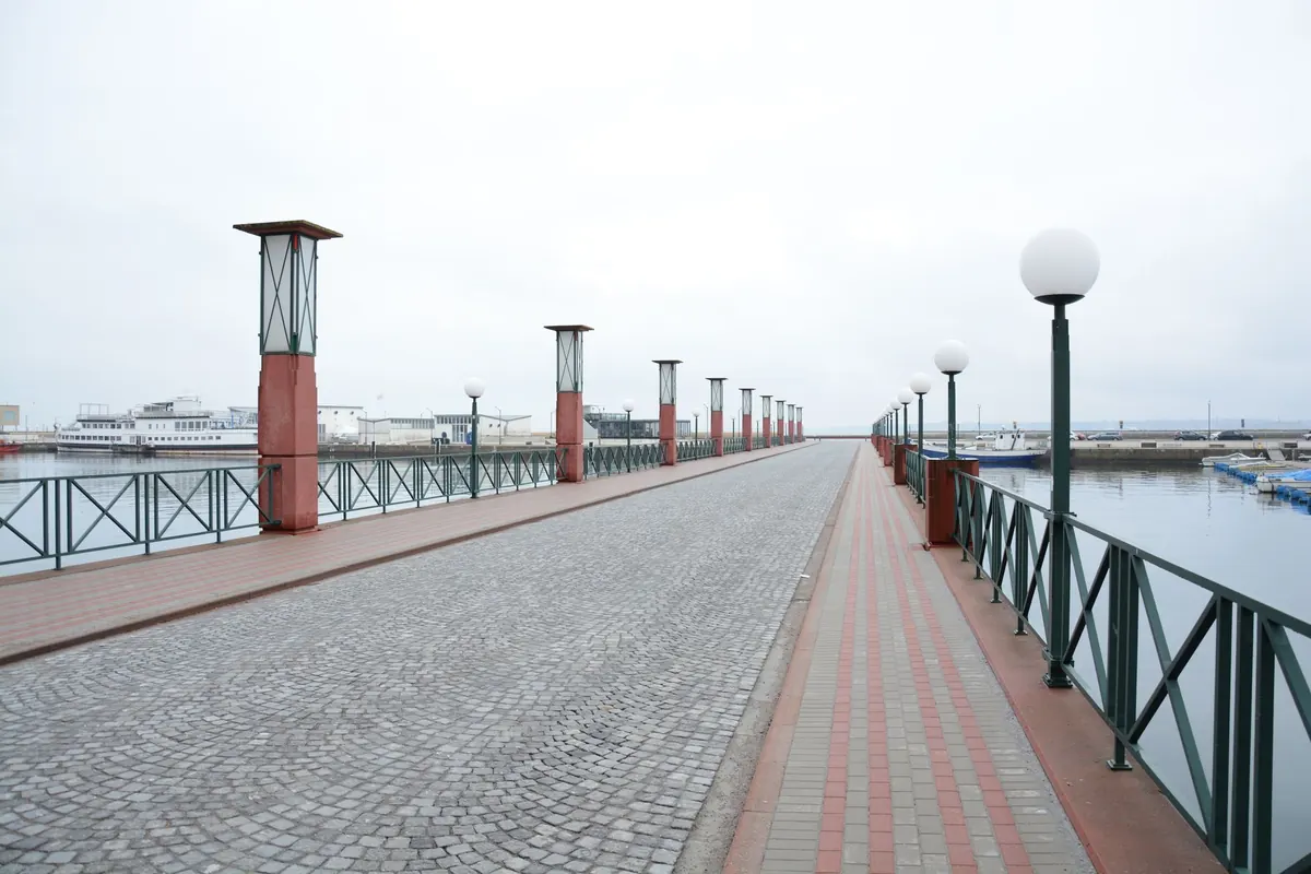
Forecast first. Overtopping is a wind-and-swell problem, not a tide problem; a wall that is dry at high water on a calm day can be washed by spray at half tide when a swell is running against the current at the entrance. Tide height merely sets the baseline.
Causeways, tombolos and rock shelves
Both, and the tide leads. These are the routes where the water crosses the path rather than running alongside it. Plan the crossing around low water, add a proper margin, and then use the forecast to decide whether the margin needs to be bigger.
Clifftops and inland paths
Forecast first. Wind, rain, mist and slipping ground matter far more than the tide, which only affects the first and last twenty minutes where the path meets the shore.
A Ten-Minute Routine Before You Leave
- Find the tide table for the nearest standard port and note the published offset for the place you are actually walking.
- Write down the next high water and the next low water, with times and heights.
- Read the harbor forecast for wind direction and gusts, wave height and period, and the hour any change is expected.
- Ask the two questions together: is the wind blowing onto this shore, and is the swell running against the tide?
- Choose a turning point and a latest safe return time, then write that time down. A number on paper beats a vague intention.
- Look again before you set out, and once more when you reach the coast. Forecasts shift, and a ten-minute walk gives you a fresh look at the actual sea.
When the Two Disagree
They often will, and the resolution is straightforward. Trust the tide table for timing — it is close to certain — and trust the forecast for character and comfort, while accepting it may be wrong in either direction. If the forecast looks marginal, shorten the route, pick the sheltered alternative, and keep an inland exit in mind. On the way out, count the ways you could leave the beach; on the way back, you will want to know where they were.
The Practical Summary
Take both, and give each its proper job. The tide table sets your clock: low water, high water, the offset for your actual cove, and a return time written down with a margin built in. The harbor forecast sets your expectations: wind on or off the shore, the size and period of the swell, and whether the day will feel like a stroll or a squall. Walk out with the tide, walk back with time to spare, and let the forecast talk you out of the routes that need everything to go right.
Photo: StartupStockPhotos / Pixabay